
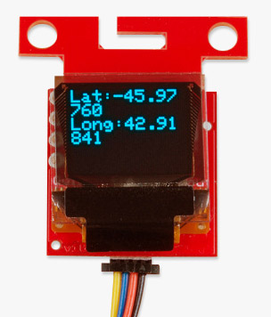
If you need an intermediate GPS project, we've got one ready to go. In a previous tutorial, you were able to accurately display your coordinates on a small OLED with the press of a button using hardware from our Qwiic Connect System. Now it's time to move on to the next step.
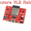
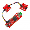
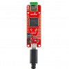
In today's tutorial focus we'll combine a SAMD21 RedBoard Turbo, a SAM-M8Q GPS Breakout and a few other components to save multiple coordinates in a KML file and take over the world! Okay, not take over, but we can easily see collections of coordinates all over the world with Google Earth.
This tutorial is the next step to the "Displaying Your Coordinates with a GPS Module" tutorial we talked about back in April, so if you haven't started there, we recommend you go and check it out!
GPS Geo-Mapping at the Push of a Button
September 27, 2019
Let's ramp up our GPS tracking skills with KML files and Google Earth. We'll make a tracker that logs location and allows us to visualize our steps with Google Earth.
Ready to get hands-on with GPS?
We've got a page just for you! We'll walk you through the basics of how GPS works, the hardware needed, and project tutorials to get you started.
have you review