
What's up, geo nerds?
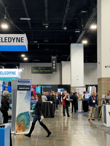
We got to spend some time at GeoWeek in Denver recently, the go-to place for all things geospatial! We saw so many cool things and met so many inspiring people all geeking out together over what's up and coming with precision, navigation and timing tech. Here's a round up of what our time at GeoWeek looked like!
Disclaimer: these photos are all unaligned and look like they were taken on a potato, our deepest apologies. We were just so distracted by the spectacle that is GeoWeek!
The Geospatial Inclusion Imperative
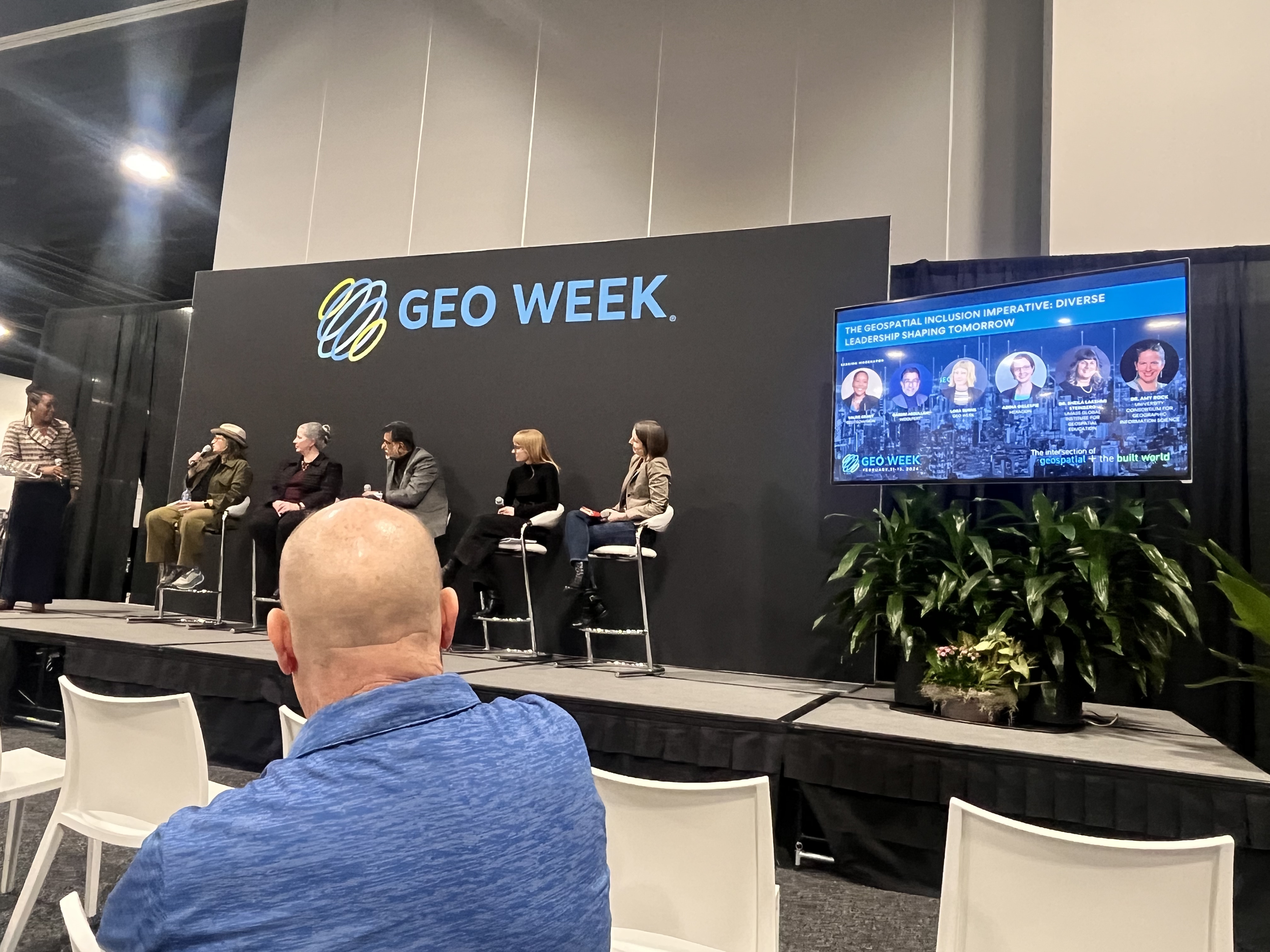
We got to attend a panel discussing the necessity for diverse voices and experiences leading the geospatial industry, and how to ensure equity for all in the future of the industry.
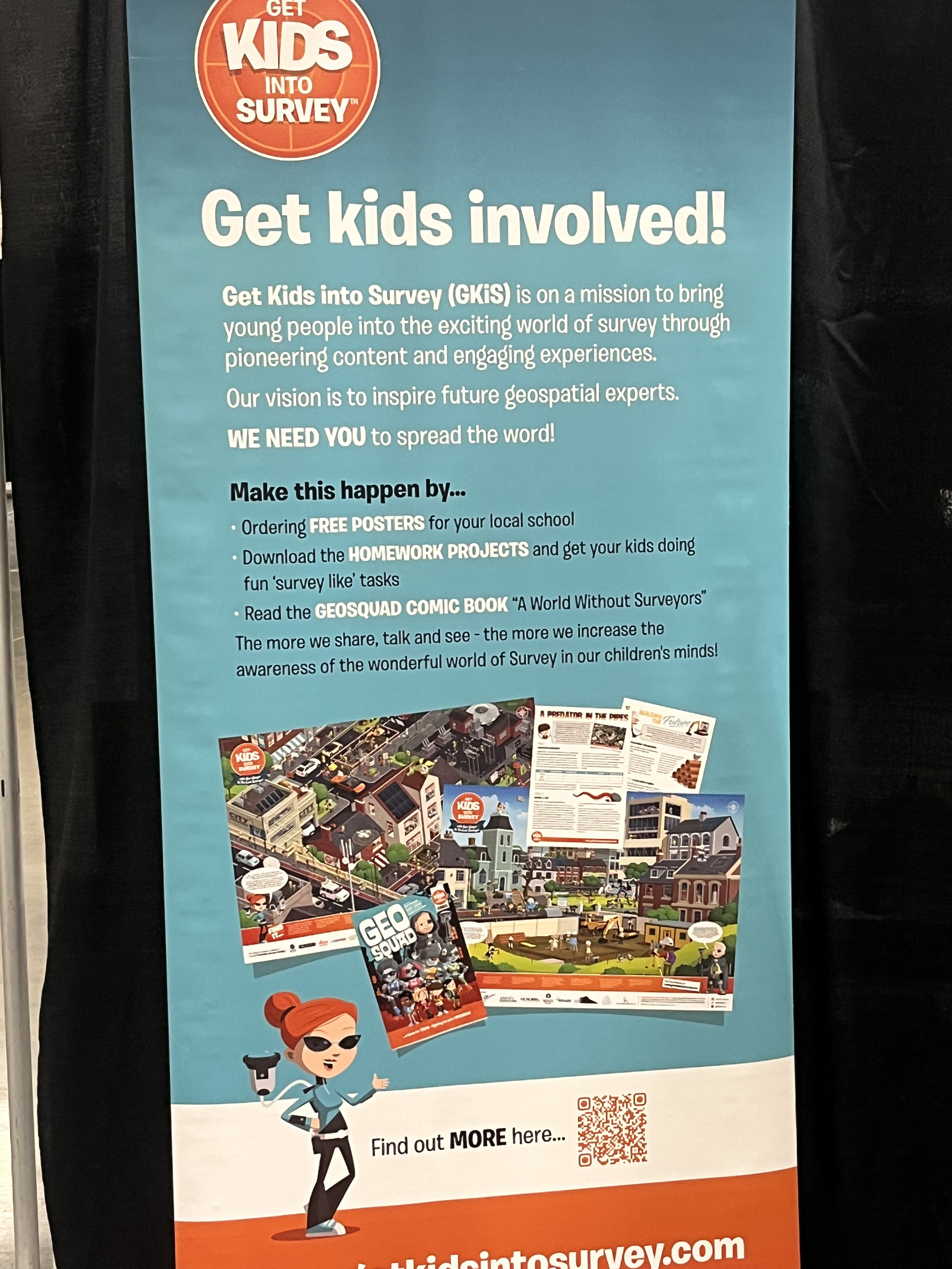
Get Kids Into Survey
Get Kids into Survey is an educational company who aims to get young kids started in the geospatial industry thorugh engaging content and curricula.
They create posters and comics around different types of hardware and concepts important to surveying and work in the geospatial industry.
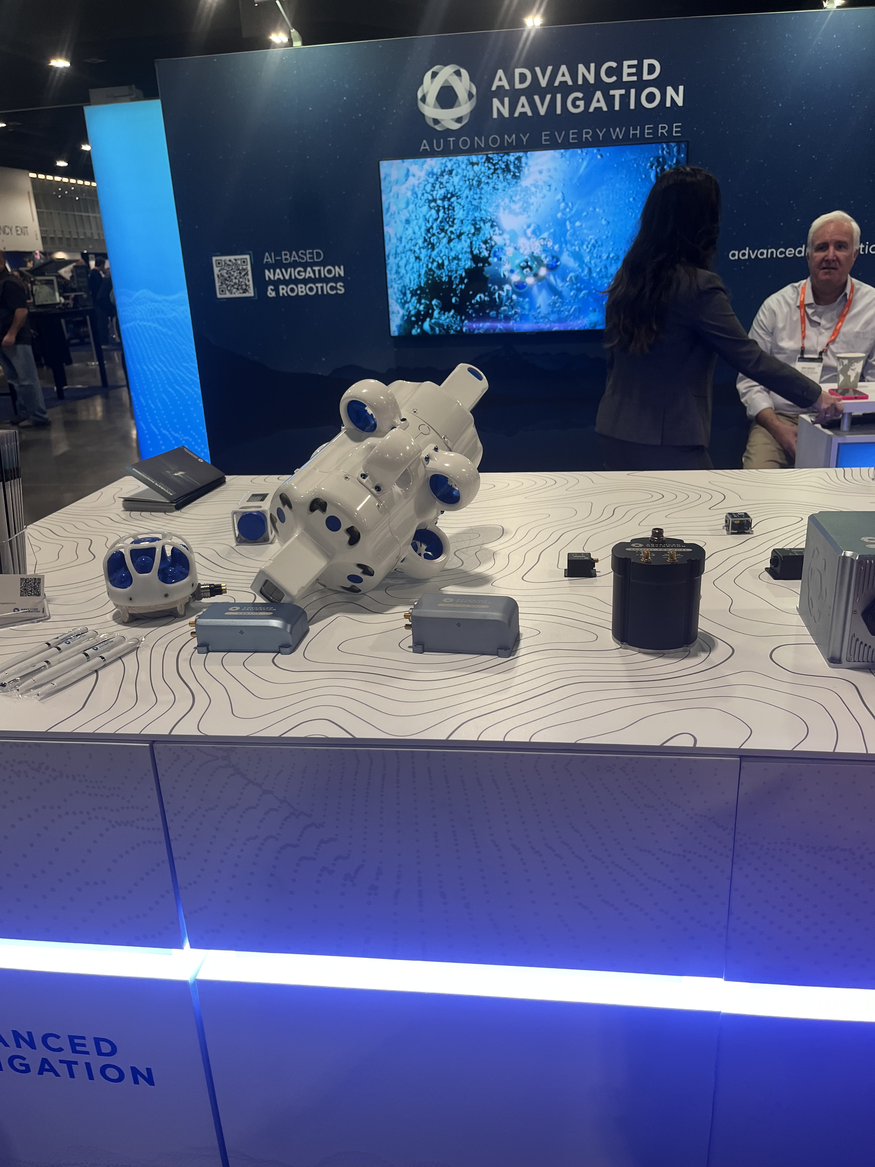
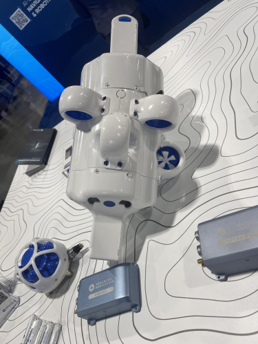
Advanced Navigation
Advanced Navigation is a world leader in AI navigation and robotics. We talked to them and got to learn all about their underwater drones (pictured) that utilize neural networks and acoustic navigation for subsurface navigation.
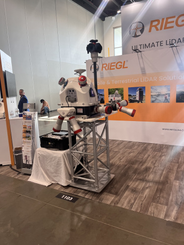
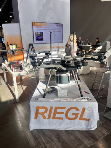
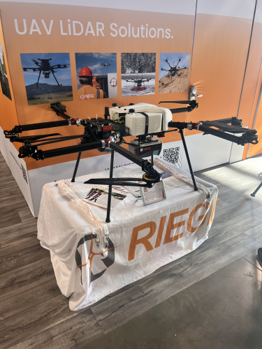
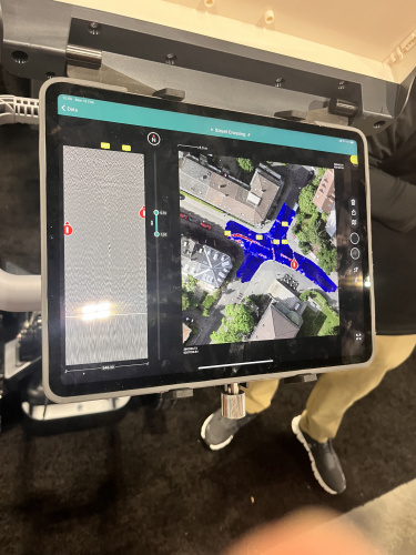
Reigl
There were tons of drones on display, and Reigl had some of the coolest looking ones. They're an international leader in cutting-edge tech in airborne, mobile, terrestrial, industrial and unmanned laser scanning for surveying applications.
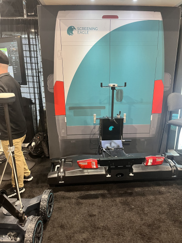
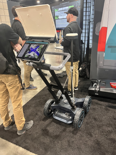
Screening Eagle
We spoke to the folks at Screening Eagle about their ground penetrating radar, complete with an interactive interface to let you see what your device is seeing right through concrete. They even had a rig that attached to a truck so you could take it safely on the roads.
Mach9
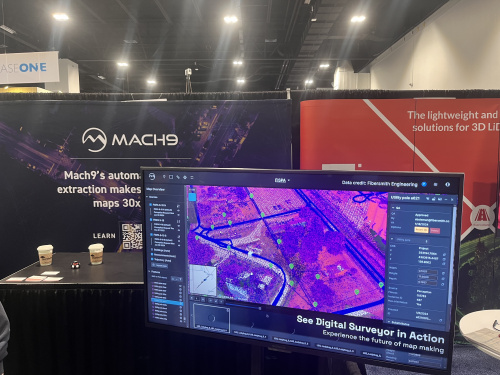
Over at Mach9, we learned about their software that takes LiDAR data converts it into actionable 2D or 3D maps almost instantaneously. Their maps looked great caught our eye from across the room.
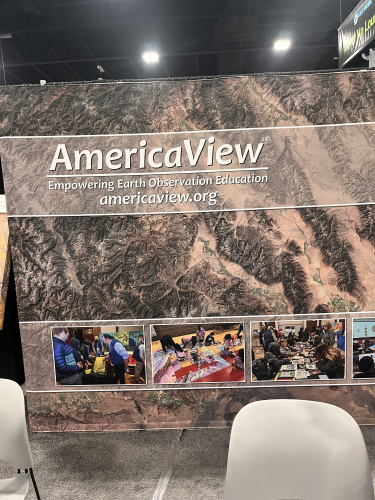
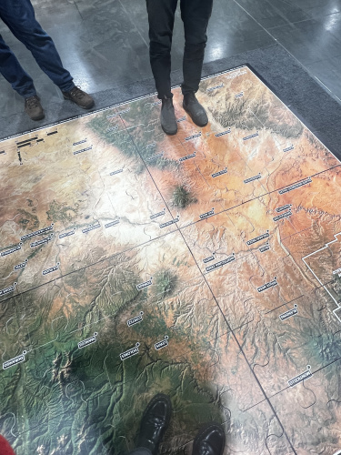
AmericaView
AmericaView advances Earth observation education through remote sensing science, applied research, workforce development, technology transfer, and community outreach. They had some great goodies at their table, including a children's book I grabbed for my niece about a baby bat learning to map its way through the world!
They even had a large puzzle of the 4 corners states we got to put together!
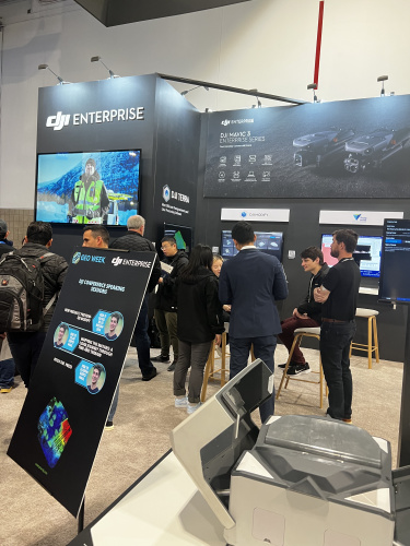
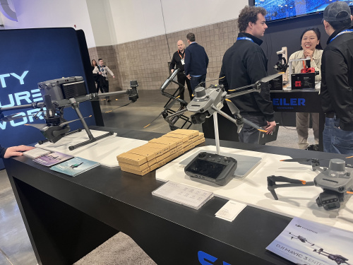
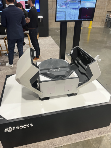
DJI Enterprise
If you know anything about drones, you know about DJI. They have a wide variety of drones, from ones that can race, to ones for hobbyists and even surveying or photogrammetry professionals. Their booth was showing off some of their newer Mavic models, as well as a drone docking station.
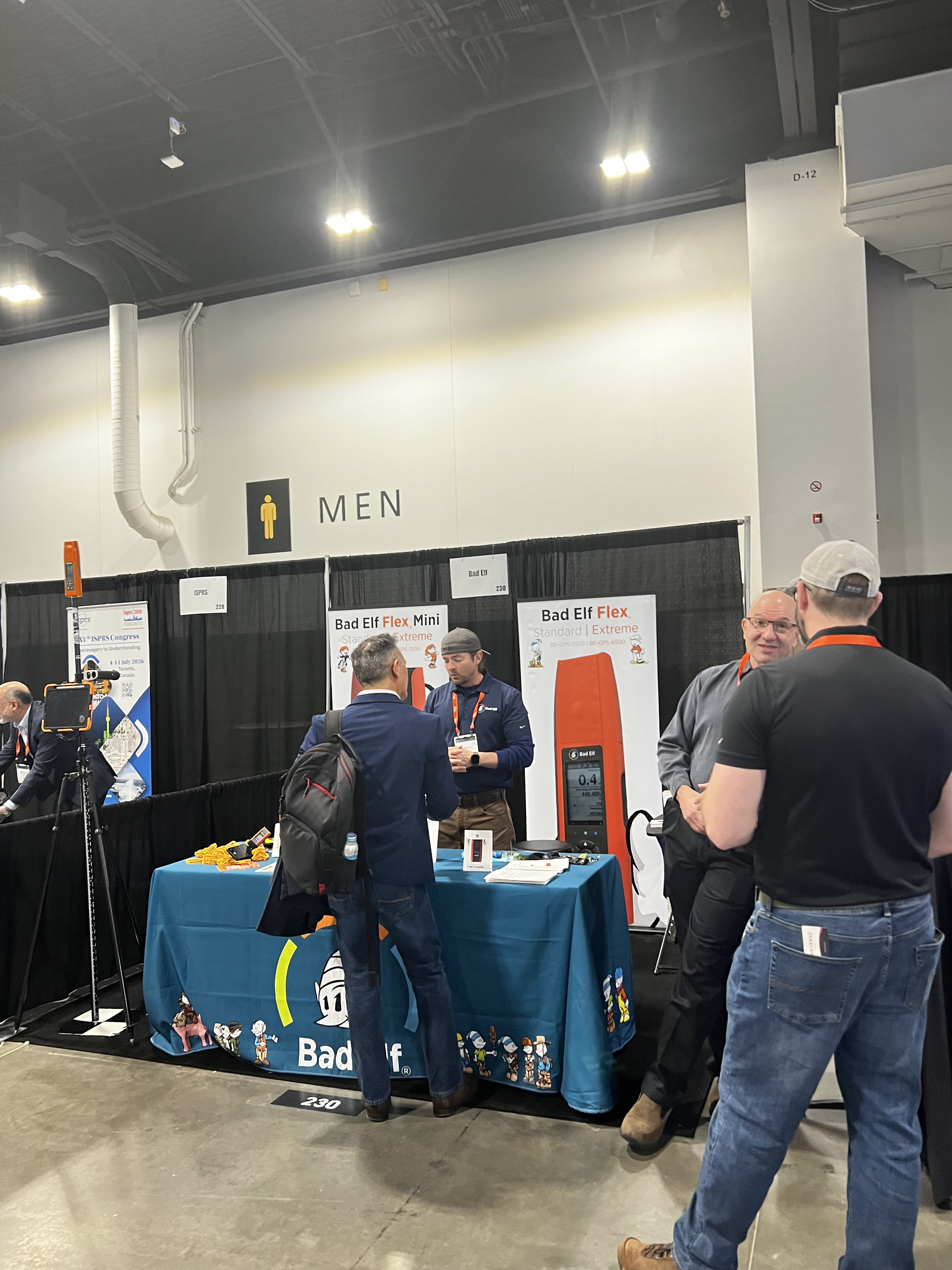
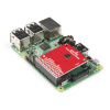
Bad Elf
We made some friends over at Bad Elf's booth, talking all about handheld surveyors and what kind of technology they're excited about in the geospatial space. They create surveyors that are compatible with certain phone apps.
That was GeoWeek! This is only a slice of what we saw while we were there, it was inspiring to see all the cutting-edge technology that is coming out of the industry. Til next year!


