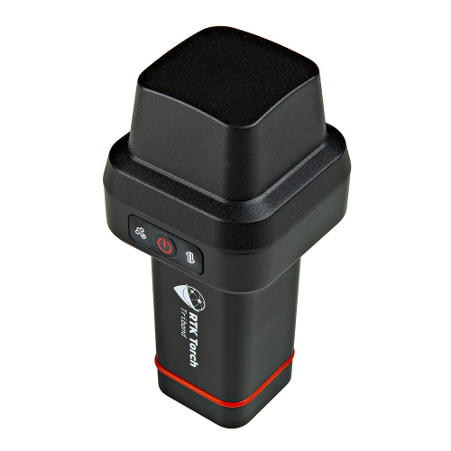
When surveying out in the field, being on a tilt can affect data accuracy. With the new RTK Torch, however, you won't have to worry about that.
The RTK Torch has an on-board IMU that informs the device when it is tilting. If the device knows its height off the ground combined with the data from the IMU, it can figure out exactly where the base of your pole is even if you're tilted up top.
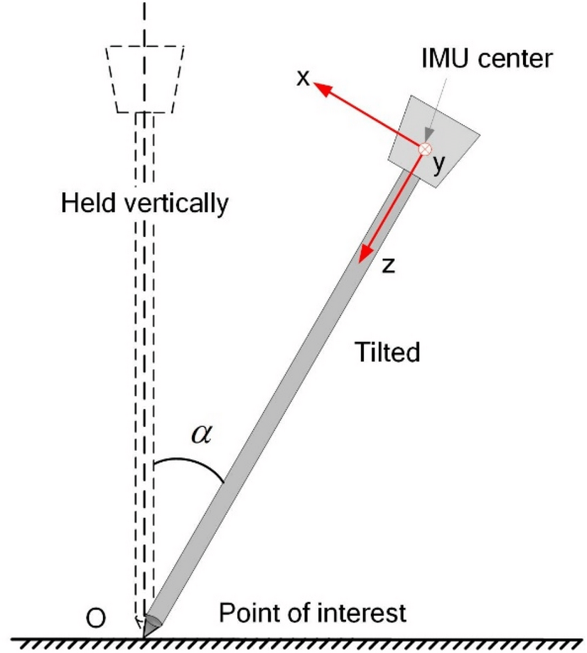
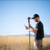
Follow along with Nate in the video below as he shows you how to use this awesome feature on the RTK Torch - from calibration to data analysis.
The RTK Torch is our hardiest surveyor yet - in addition to tilt compensation, it's also waterproof! Learn more about it (and maybe add one to your surveying repertoire) here:
What other issues do you run into while surveying? Let us know in the comments!
